Hello Gents,
I've just put the wraps on a second RNAV approach for a dirt strip in RTMM--Wilson Creek. As many of you know, this is a small GA strip (1650') at the head of Wilson Arm, southeast of Ketchikan.
Here is the IAP

And here is a pirep of a proving flight I did, weather was 1000' and 3 miles (in rain)--not exactly at miniums but close.
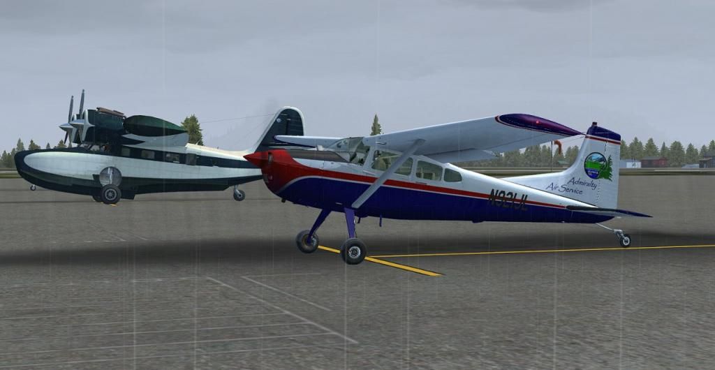
Starting up at Annette Island, it was my good fortune to find a Grumman Goose parked next to me.

Lifting off of a wet and rainy runway.

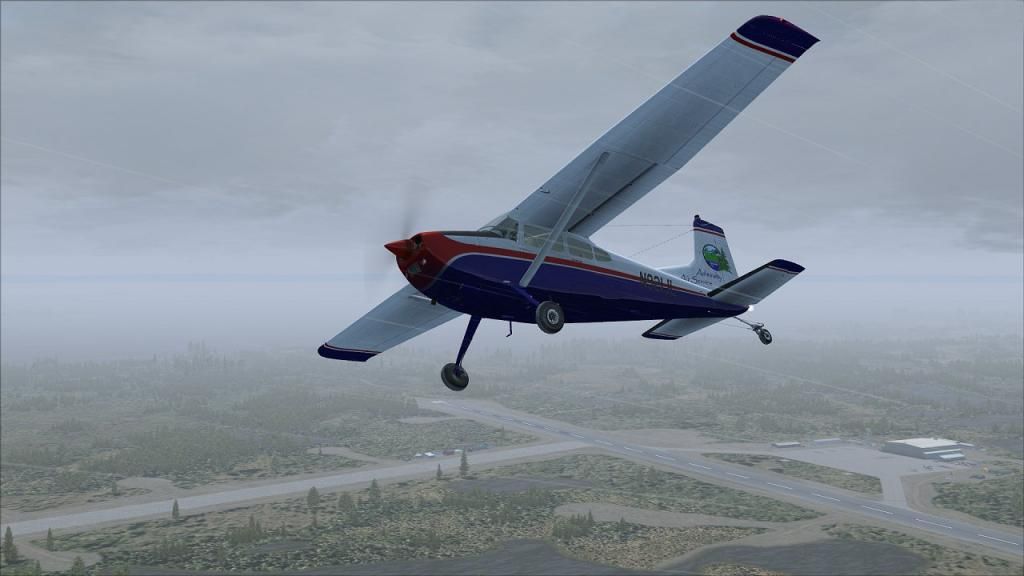
Turning to join my on course heading.
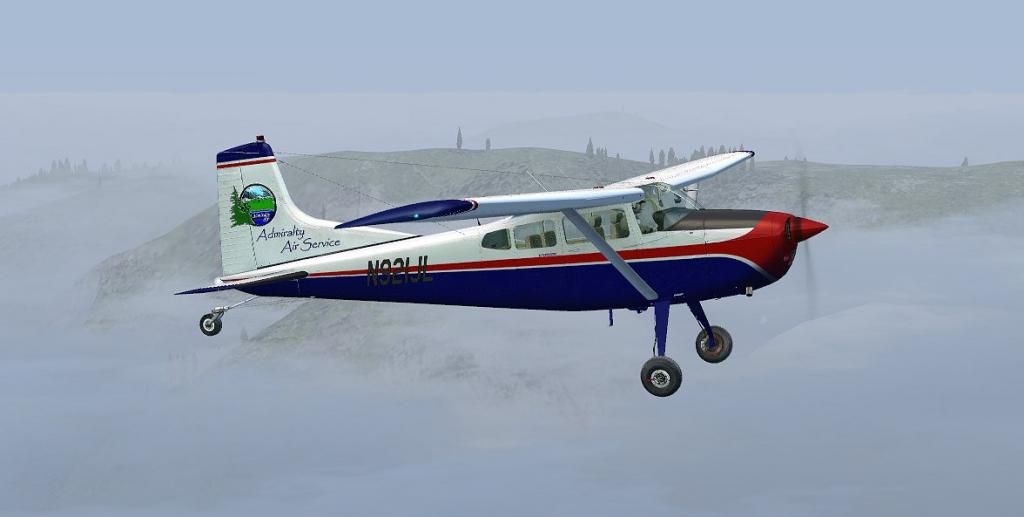
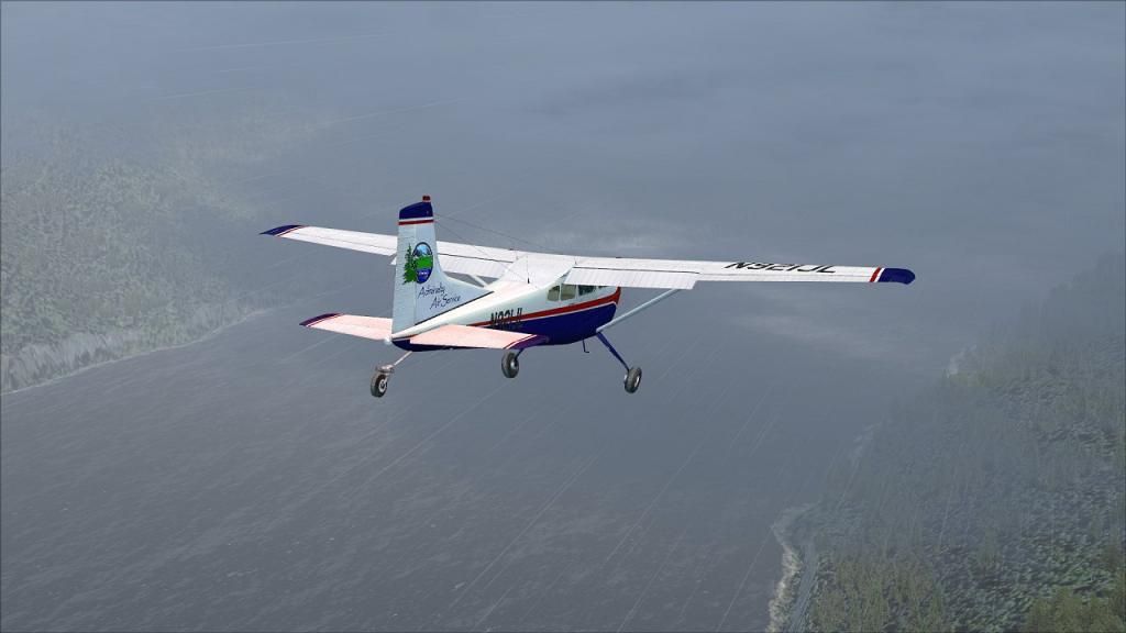
The cloud tops left some of the Alaskan summits just poking out.
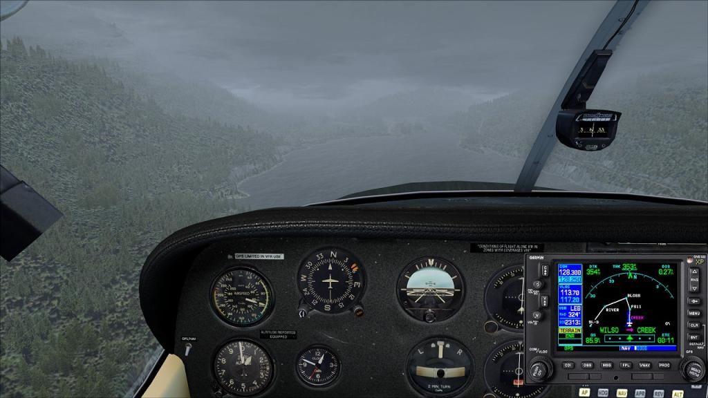
Coming down in Wilson Arm on the Final Approach course, the rain was really pelting the windshield.
One can dimly make out the field here at minimums. With no lighting to speak of, 2 miles is as good as an IFR approach can do here.
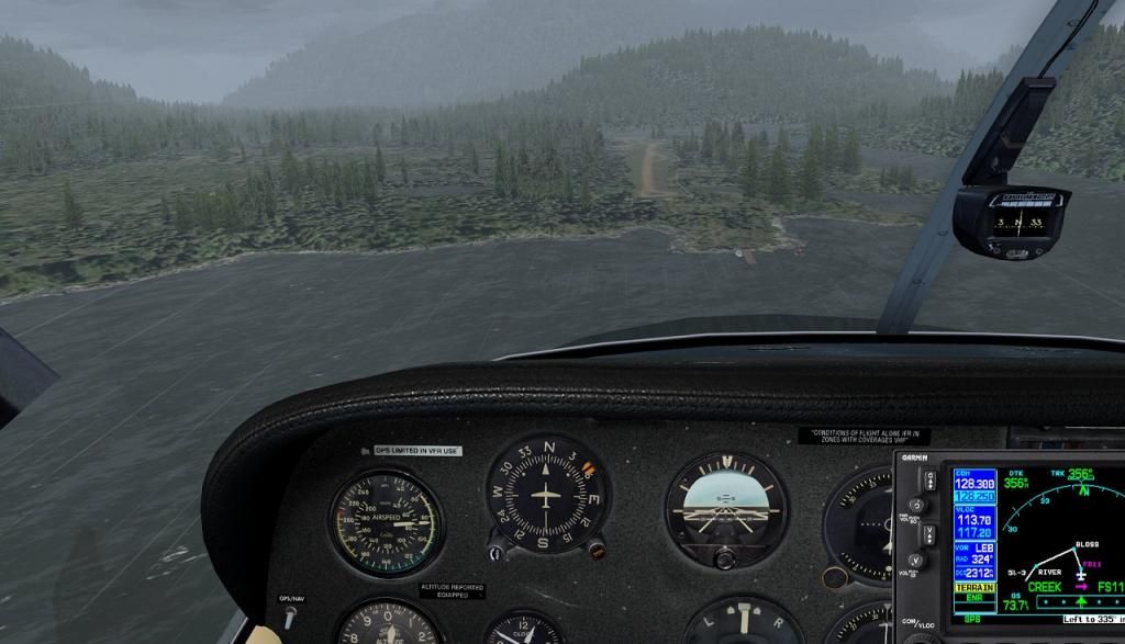
Coming up on short final to runway 36.
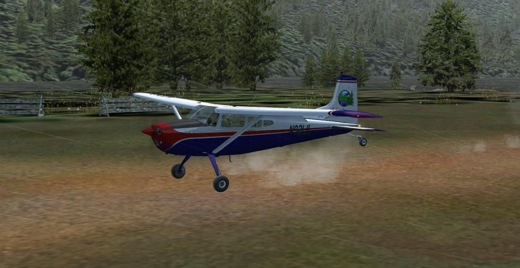
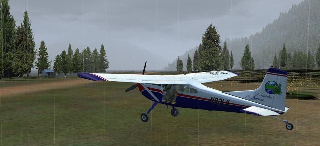
A two point landing without a bounce.
And shut down, with a view looking down the runway and back up Wilson Arm.
Attached are the 3 AFCAD files required to put these waypoints into your FS.

